

A spectacular loop through the high-altitude pastures that characterise the Civetta ski area in summer.
We can start either from Piani di Pezzè or for those who wish to reduce the difference in altitude, as in the following proposal, from the Col dei Baldi cableway exit. From Col dei Baldi you descend towards Malga Boi Vescovà. Here you proceed on an asphalted stretch towards the next Malga Fontanafredda, both open in summer.
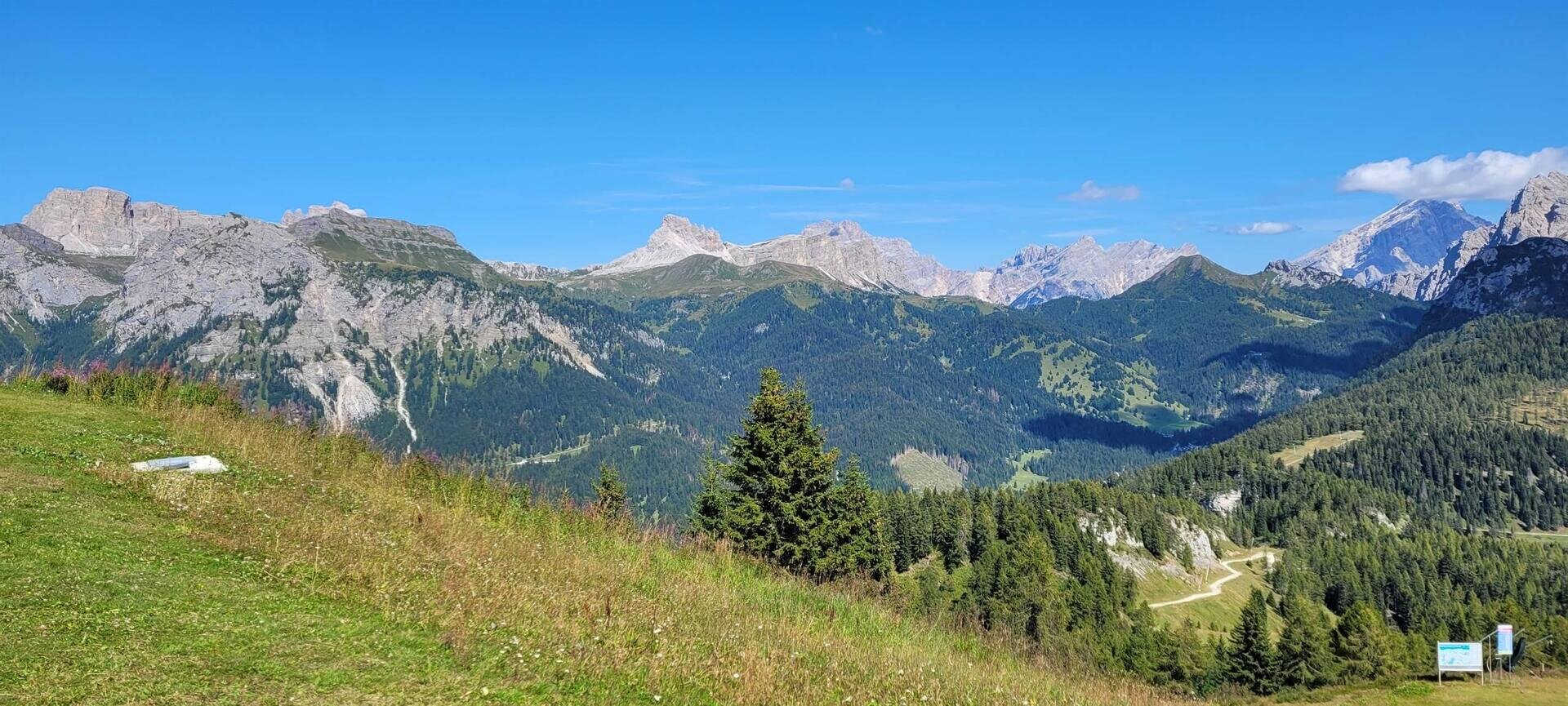
After leaving the malga, continue first on a false level and then uphill, leaving Forcella Pecol to your right towards Costa dei Conte, where a junction (signs) allows you to move to the Selva di Cadore side and descend slightly towards Ristoro Fertazza and take the little road of the Salere track that leads to Cima Fertazza.
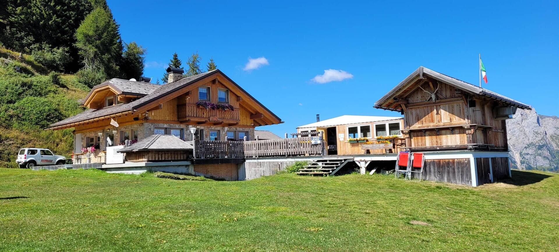
As a variant, cross Forcella Pecol, and continue left along an evident and indicated forest path that leads to Ristoro Fertazza, positioned at the arrival point of the chairlift that climbs from Pescul. In this case, after the pleasant stretch of forest path, the last 400m are a steep ascent along the Bait track to reach the plateau on which the refreshment point is located.
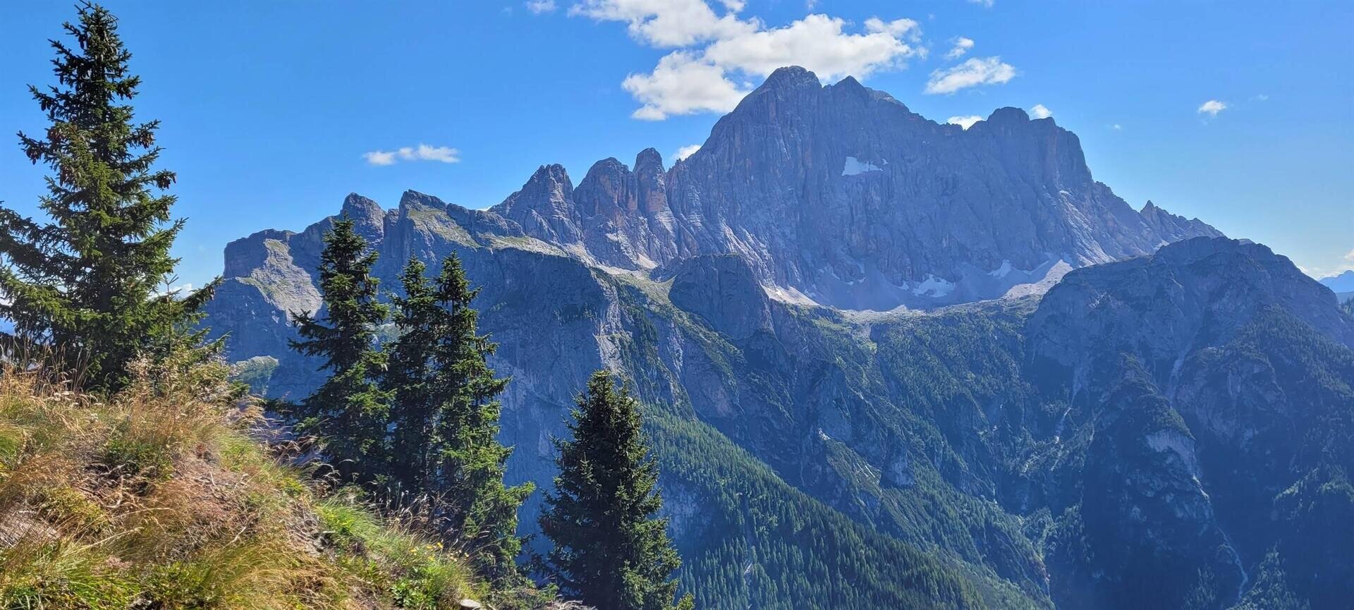
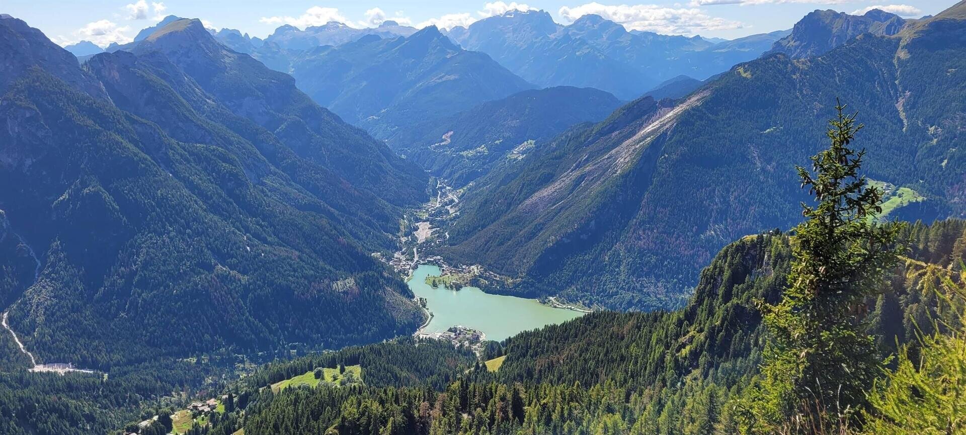
Once you reach the Fertazza peak, after stopping at the summit cross to admire Lake Alleghe, you can plan to have lunch at the Ristoro Belvedere or the Ristoro La Ciasela, both of which are very scenic. From here onwards it is all downhill for those who intend to return by footpath to the Piani di Pezzè, while those descending by cable car will need to plan for a short climb to Col dei Baldi for the return trip by cable car.


