

The starting point of the itinerary is Croce d’Aune Pass, that can be reached from Pedavena or Sovramonte by taking the State Road 473; there, there are some parking slots. From Croce d’Aune following Troi della Zeccona, you arrive at Col Melon (see itinerary 12 - Croce d'Aune for detailed description).
The path proceeds downhill along the road for about 500 meters. Continue the descent along the main road, flanked by an outcrop of Scaglia Rossa, where the orderly arrangement of layers creates the visual effect of a drywall. After a couple of turns and coming to a third one, turn left along a dirt road that leads to some casère. Proceeding into the wood rich in beech and ash trees; the trail is rather steep, while the reddish bottom has some rocky protrusions. Always keeping the direction, continue to descend until a spruce reforestation; the presence of the chestnut tree, however, suggests that, in a not too distant past, the layout of the environment was different.
Shortly, you come to a group of rustic buildings: the barn-stable is the one that has preserved most of its typical appearance, where the use of porphyry boulders creates a characteristic color effect on the masonry. Peering north through the foliage of the larch trees, you can once again see the Vette (peaks) and the valley carved by the stream Porcilla.
The itinerary continues downhill, surprising from time to time with some details, such as the presence of a clod of soil covered with soft mosses and ferns of the genera Polipodium and Asplenium. As you go downhill, the wood becomes more and more enriched with tree species that capture the different soil and climate conditions: there are maples, beeches, birches and firs, but also poplars and willows, which need more moisture, and finally cherry, chestnut and hazel trees, which betray a connection with human activities.
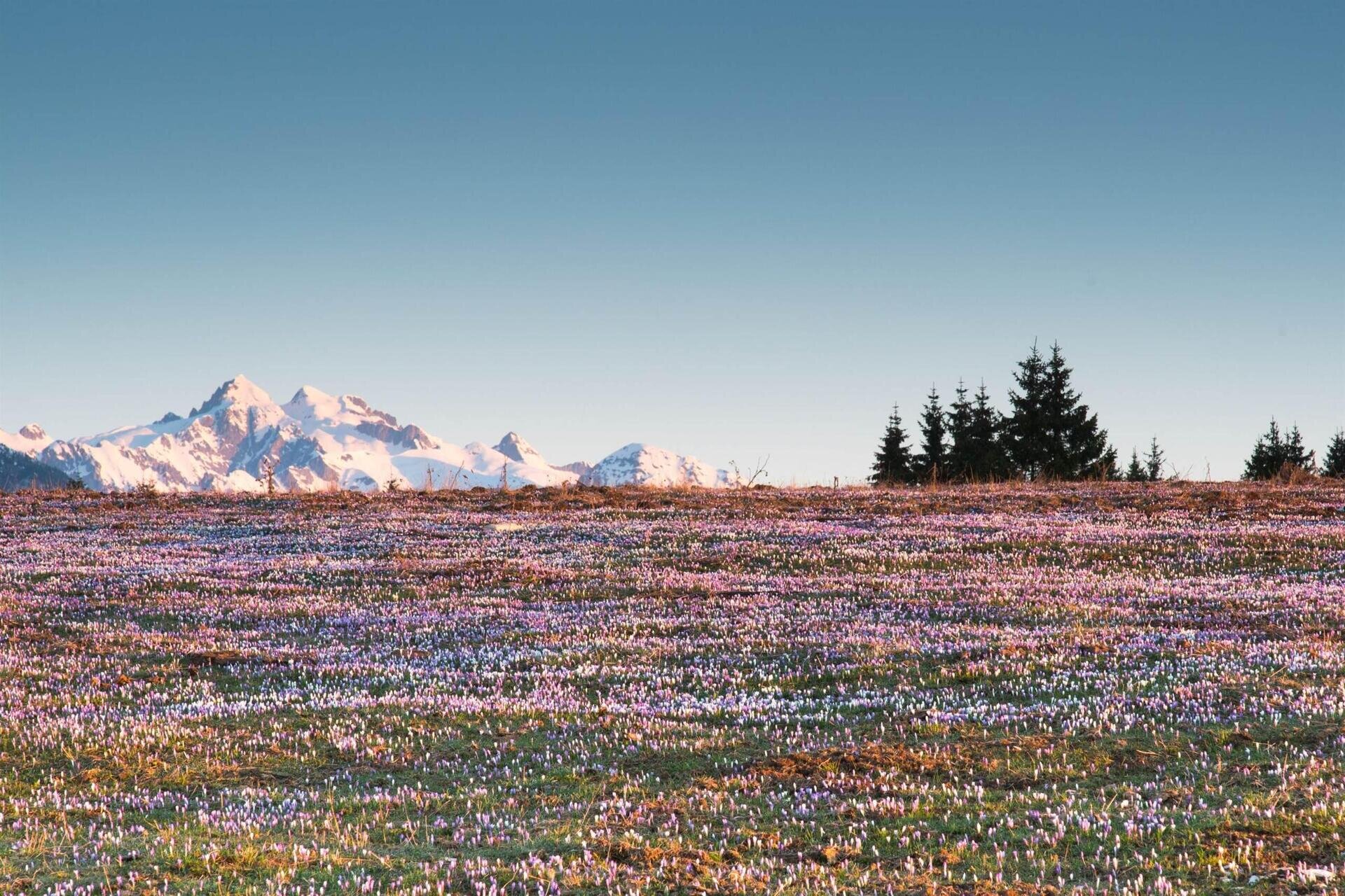
A last stretch of mule track with a compact stony surface guides you to the crossroads, where the Col Melon road diverges from State Road 473. You are at the lowest point of the itinerary (719 m a.s.l) and you have to go up for about a kilometer along the state road in the direction of Croce d'Aune. Despite the slight climb, the route is pleasant because it offers beautiful views of the landscape on the eastern slope of Mount Avena, on Croce d'Aune and on the Vette (peaks).
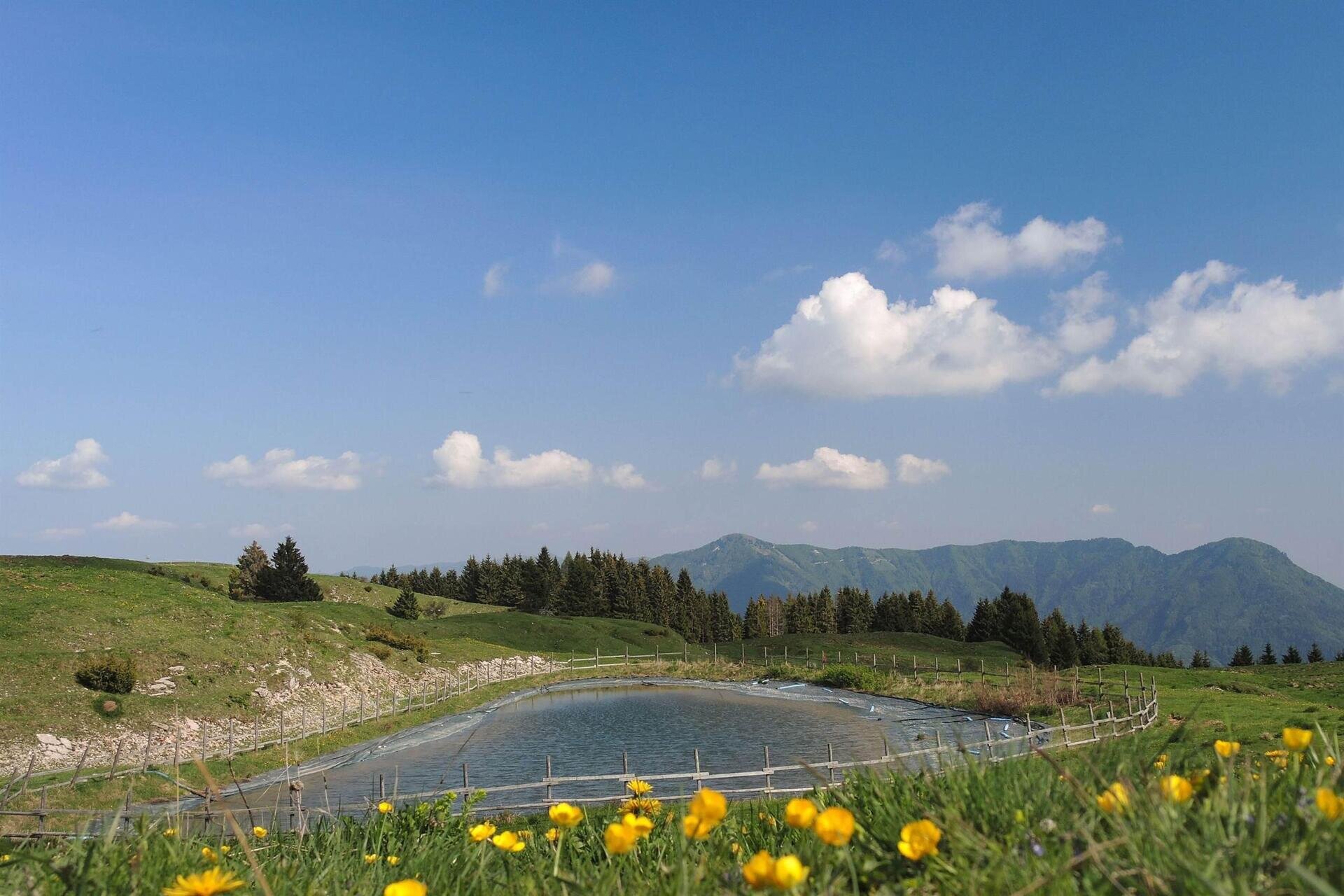
Accompanied by the tables that mark the perimeter of the Park, you reach the suggestive Pian d'Avena. In addition to a picnic area, at Villa Berton is the station of the Territorial Coordination for the Environment, an office of the State Forestry Corps deputed to the surveillance service in the Park. In the surrounding territory has also been found the presence of the king of quails, a very rare bird protected by Community rules, which comes to us in spring to nest in the surrounding area. A convenient cart road winds through the extensive plateau, with great views of the mountains. After about 20 minutes of walking, we leave it to take the path on the left that will lead you back uphill to Croce d'Aune (see Itinerary 5 - Camogne for a detailed description).
FURTHER INFORMATION ON... Past and present on Mount Avena
Until the '50s on Mount Avena there was an intense agro-sylvo-pastoral activity. Other important changes have occurred in recent decades: the current climate, for example, no longer gives us the abundant snowfalls of the past. Sometimes supported by artificial snow, the ski resorts of Mount Avena continue to operate. In the meantime, other sports have also been added, such as free flight, paragliding or hang gliding, favored by the particular atmospheric circulation of the area. It is also widespread hiking and mountain biking, which uses the dense network of roads and paths; after all, the historic route of Alta Via No. 2, after passing through the fascinating scenery of the Dolomites, ends precisely at Croce d'Aune. The hope is that new forms of tourism will grow, bringing visitors into contact with the environment and culture of this area, compatible with the need to protect its great naturalistic value.
USEFUL INFORMATION
Start and finish: Croce d’Aune Pass (1015 m a.s.l.)
Places crossed: Troi della Zeccona, Pian dei Lac, Col Melon, Belvedere, Armentera, Pian d’Avena
Signage: white and blue directional arrows with the words “Anello del Col Melon”
Lenght: 8 km
Elevation gain: 355 m
Travel time: h 5.00
Difficulty: medium
Recommended period: accessible all year round; but fall lends particular colors to the landscape.
Points of interest: Croce d'Aune tourist center, landscape of Col Melon, typical rural buildings, landscape of Pian d’Avena.
Note: it is a medium-duration itinerary with an appreciable elevation gain, that winds between Croce d’Aune, Col Melon and Pian d’Avena; the route does not present any difficulties, even though there could be some muddy sections and uneven terrain. Mountain biking requires experience and training.
You are in a natural environment that requires respect:
- Prohibition of collecting flowers
- Prohibition of bathing
- No to the shouting
- Prohibition of ignition of fires
- Do not leave waste around, but throw them in the appropriate spaces (also cigarette butts, tissues, masks and wet waste)
- Minors must be accompanied
- Dogs must be kept on a leash and their collected excreta
- Do not leave the path
- Do not disturb the local fauna
It is suggested to inquire through the ARPAV website about any disturbances before embarking on the route.


