Difficulty level: easy
Duration: 3 hours
Distance: 29 km
Val Comelico area
Highest point: 1345 m
Lowest point: 909 m
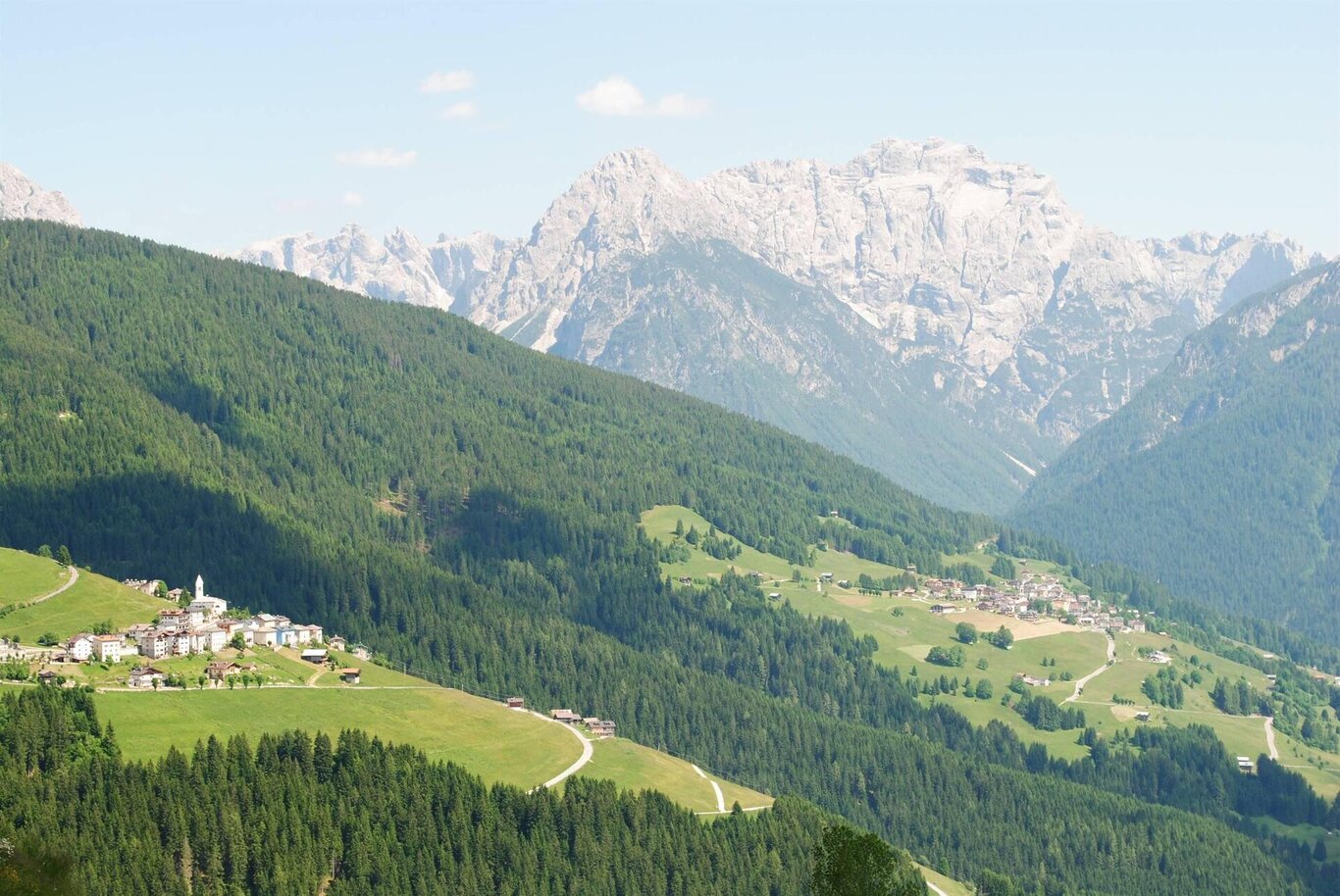
Panoramic tour of Val Comelico starting from La Siega in S.Stefano di Cadore following the 'Ronco' cycle path we reach Campitello, Gera and continue on the cycle path to Sega Digon where we will face a challenging climb for a short stretch; the road continues to climb up to Costa di San Nicolò where it continues for a few kilometers on a slight slope reaching Costalissoio, from there it resumes the climb towards Costalta. (For the more experienced it is possible to go up to the Forcella Zovo refuge and go down the steep road "la Terribile di Valle" towards Valle di San Pietro di Cadore) Here we descend towards San Pietro di Cadore, continue towards Presenaio, take the SS52 state road for 300 meters , we cross the bridge, we turn right and after the football field we go down the Piave river along a dirt road, then we reach Campolongo and, always keeping to the road that goes to the left of the river, we arrive at Santo Stefano di Cadore.
Bike: Panoramica Comelico
Cadore - Tre Cime - Comelico

Stay in touch
Sign up for the Dolomites in Belluno newsletter!
You will receive news, information, itineraries, ideas and tips for your vacation throughout the year.