Start and finish point: Casera Silvella (circuit route)
Altitude gain/loss: 860 m. approx.
Difficulty level: EEA (cable assisted trail)
Hike duration: 5 hrs (excluding breaks)
Recommended period: summer
CAI waymarking: 146, 403-160, 145 and 161 (403 for Rifugio Filmoor)
Stop off points: Rifugio Filmoor,
Itinerary:
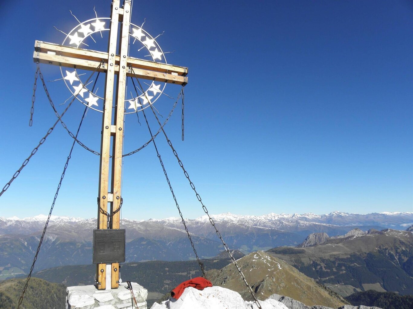
This hike passes through ultra-interesting geological, nature and landscape features. Park your car at Malga Silvella (1827 m.) in Val Digon. From here continue along the road, now pedestrian-only, to Casera Rigoiéto to footpath 146 and then on to the grassy ridge descending from the peak of Mt Cavallino. The ridge rises up abruptly and the path is visible to the right on its scree slope side, reaching Forcella Cavallino quickly (1.5 hrs). From this col follow the scree footpath in a northwesterly direction, footpath 413-160, to a very clear diagonal ledge, an exposed section equipped with metal cables requiring harness, ropes and carabiners, quickly reaching the flattish summit of Mt Cavallino and on to the peak itself, site of 30-year-old Europa cross, a symbol of peace, around an hour from the col. The views from the peak, the highest of the border peaks separating the Comelico valley from the East Tyrol, are majestic.
An alternative to climbing Mt Cavallino for anyone not equipped with harness, ropes and carabiners is to descend on the Austrian side from Forcella Cavallino on the gravel road signed 403 to the little mountain hut below, Rifugio Filmoor (+/- 100 m.).
Return along the gravel path marked 145 to Malga Pian Formaggio and then footpath 161 to Malga Silvella.
Monte Cavallino
Cadore Tre Cime Comelico

Stay in touch
Sign up for the Dolomites in Belluno newsletter!
You will receive news, information, itineraries, ideas and tips for your vacation throughout the year.