Starting point: Ristorante La Baita in Costalissoio
End point: Costa
Altitude gain/loss: 700 m. approx.
Difficulty level: E (straightforward)
Hike duration: 5 hrs (excluding breaks)
Recommended period: summer
CAI waymarking: 165 and 165a
Stop off points: Rifugio De Dòo, shops in Costalissoio and Costa.
Itinerary:
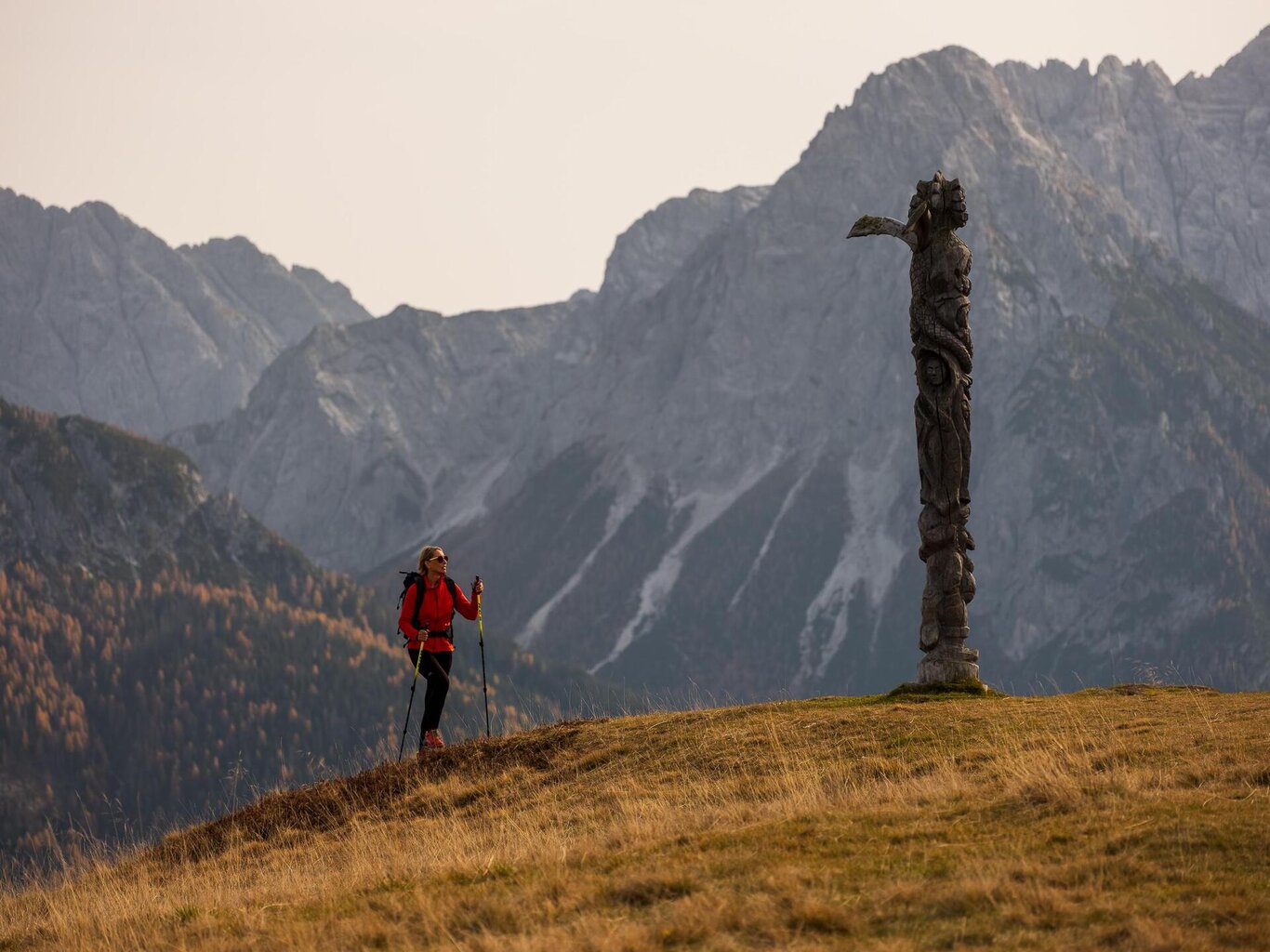
There is a sports field car park approx. 400 metres after Costalissoio village, in the direction of Costalta. Park here and continue on foot to the left in the direction of Mt Zovo, into the woods and climb up on a straightforward bendy tarred road. There are many forest road junctions but the waymarking is good (red and white paint marks and wooden posts). The road continues on gravel and then narrows through green fields, up and down to a junction, and shortly to the peak of Mt Zovo. This is the site of the Madonnina di M.te Zovo shrine and a wooden totem carved by a local artist. Rifugio De Dòo, built in 2015 with local materials and using renewable energies, is just below the peak and also open in winter. From the hut descend on the road to Costa, a small village with great views. Strada Panoramica del Comelico road then takes you back to your starting point.
Monte Zovo
Cadore - Tre Cime - Comelico

Stay in touch
Sign up for the Dolomites in Belluno newsletter!
You will receive news, information, itineraries, ideas and tips for your vacation throughout the year.