Search
Webcams
Lodging
Request information

Sentiero Giro del Carota

Valbelluna

Valbelluna
sentiero
Sentiero Giro del Carota, Viale al Lago sn Farra - 32016 Alpago (BL) IT +39 347 2747971 iatalpago@gmail.com www.alpagocansiglio.eu/

Length: about 10 km

Travel Time: 4 h

Elevation Gain: 500 meters

In this itinerary, we recommend starting from the parking lot of the Rifugio Carota, located in the eponymous locality, above the municipality of Pieve d'Alpago.

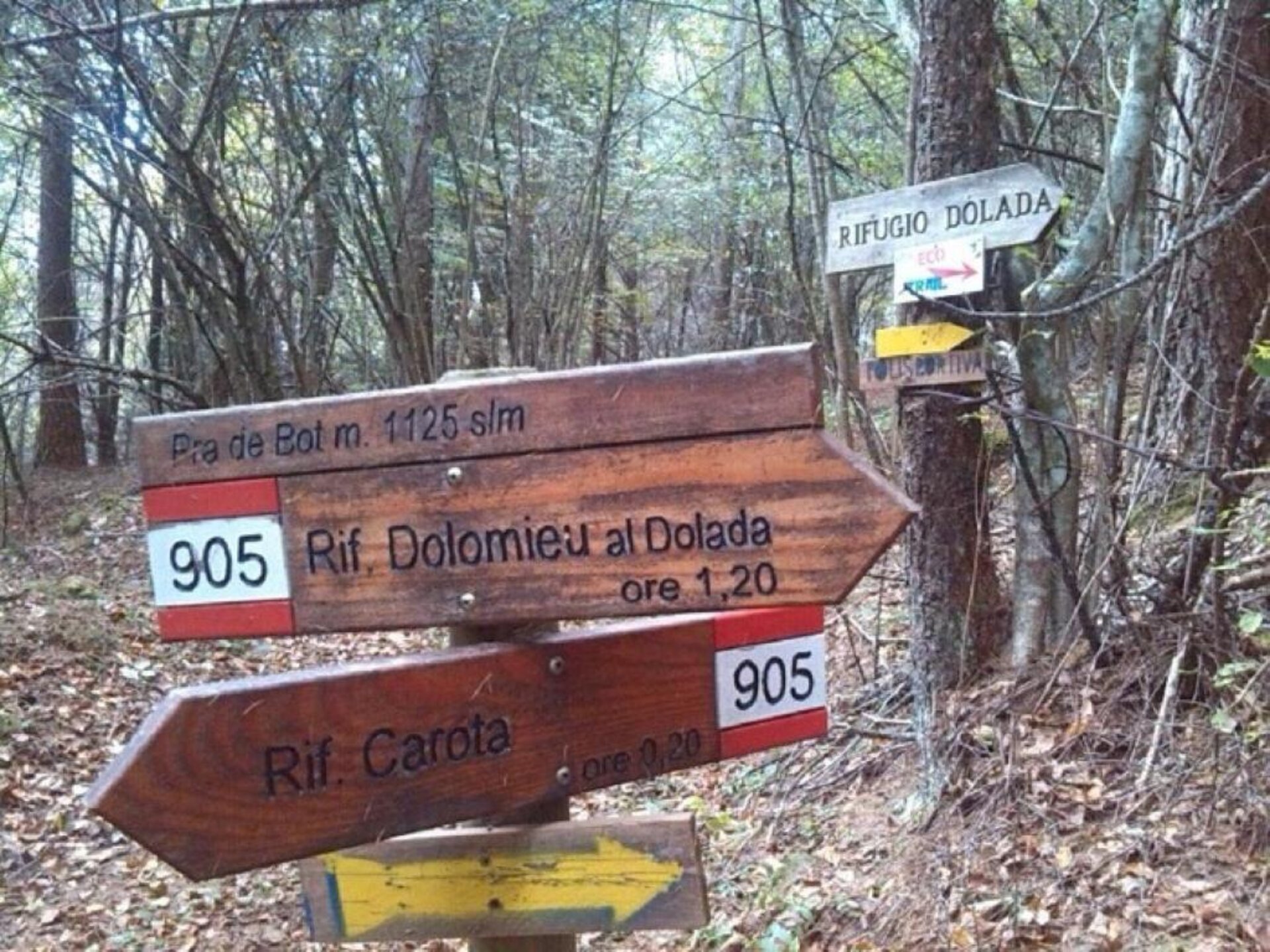
The route's destination is the Dolada refuge. Starting from the parking lot of the Rifugio Carota, you follow the southwest side of Monte Dolada until you reach Bivacco Scalon. By following the signs to the refuge along a path that once connected Plois to the mountain, you move through meadows and forests that occasionally open up to remarkable views, especially in the area near the refuge, used as a take-off area for paragliding.

To complete the loop, from the refuge, you must take the asphalted road and descend to the first bend, from where, with a steep descent, you reach the Carioip plain and then continue south.>

sentiero
La Segnaletica lungo il Percorso

Stay in touch

Sign up for the Dolomites in Belluno newsletter!
You will receive news, information, itineraries, ideas and tips for your vacation throughout the year.

Thank you

Grazie: ti abbiamo inviato una mail per attivare la tua iscrizione e selezionare le tue preferenze se previsto.

Something went wrong

Retry

Close

Subscribe to the newsletter


(You can choose more than one)

Cancel
Close

Thank you

Your request has been sent successfully and we will reply as soon as possible. A copy of the data you have provided us with has been sent to your email address.

Close

Request information

You are sending the request to: Belluno Dolomites


Close