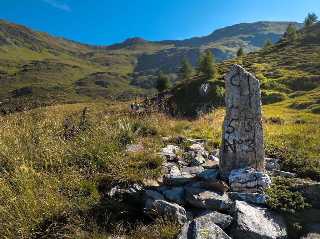
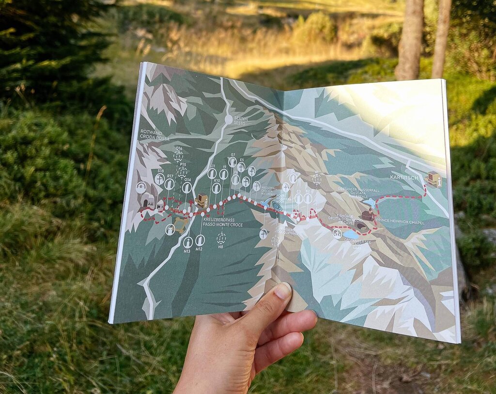
On 5 September 1753 Austrian Hapsburg Empress Maria Teresa and Venetian Doge Francesco Loredan signed the Treaty of Rovereto to mark the borders between the two great powers of the day. The border ran along Lake Garda to the Tyrol and was marked with crosses and border stones.
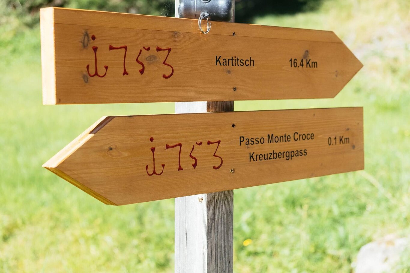
The cross-border project Footpath1753 makes this border between the Cadore Dolomites and Austria accessible, running exactly along the border that now separates Belluno and Bolzano provinces highlighting over 2000 years of history.
The whole route (as well as a continuation in the direction of Austrian lake Obstanser with its mountain hut of the same name and then to Kartisch, a town which took part in the cross-border project) requires two days.
Two different itineraries are possible.
Itinerary A
Start and finish point: Passo Monte Croce Comelico (circuit route)
Altitude gain/loss: 900 m. approx.
Difficulty level: EE (experienced hikers)
Hike duration: 6 hrs (excluding breaks)
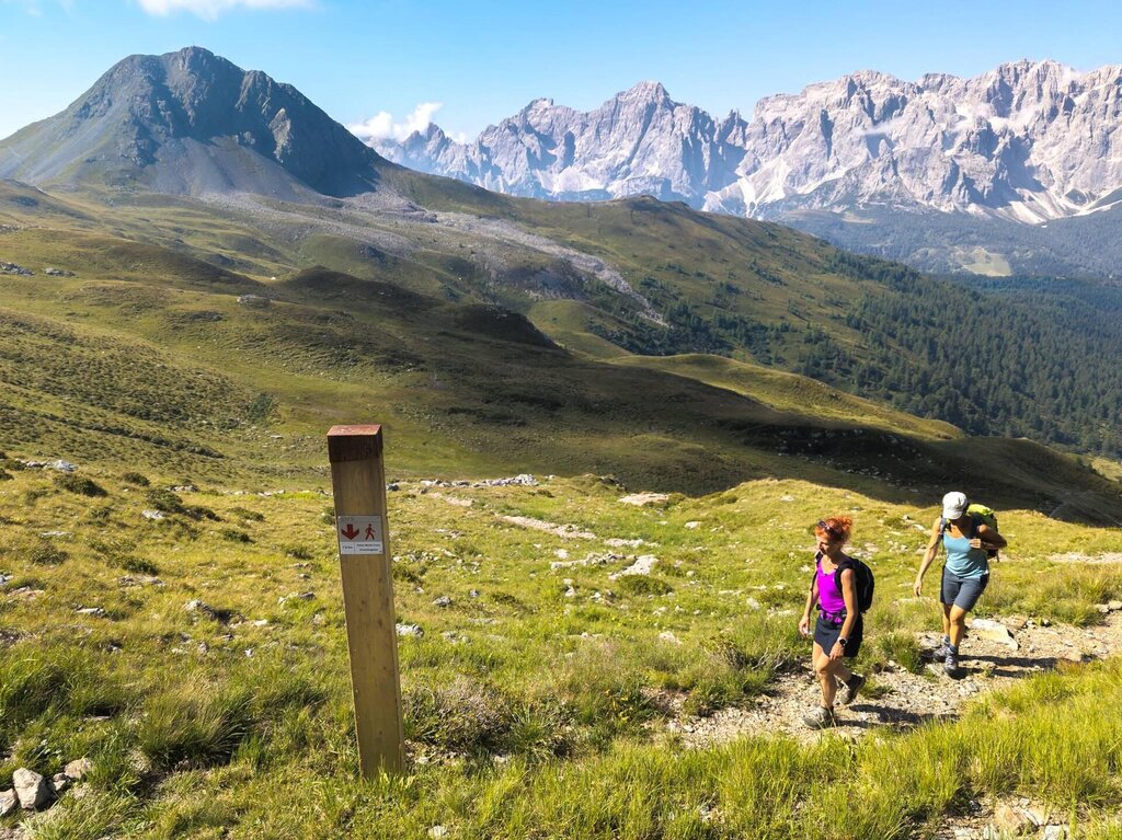
Waymarking: CAI 131, Footpath 1753 info panels, then CAI path numbers 146, 148, 149.
Recommended period: summer
Stop off points: Malga Nemes, Malga Rinfreddo, Malga Coltrondo
Itinerary:
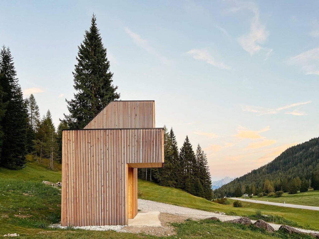
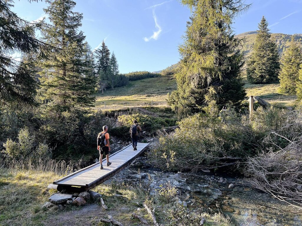
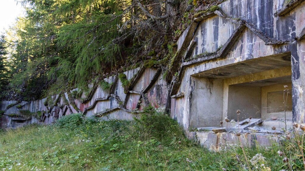
Passo Monte Croce is equipped with an info point for the route. 100 metres after it, turn off left onto Footpath 1753 which crosses the gravel road repeatedly. The route passes through very interesting and diverse habitats with a great many border stones and crosses and the Valle Alpino Littorio bunkers and border walls, some of which were later converted into trenches but are still recognisable. There are various opportunities for a break, turning left to Malga Nemes (return to the pass on footpath 131) or right to Malga Coltrondo at well-marked junctions (return to the pass on footpath 149). Otherwise, at Passo Silvella, the route continues around Mt Quaternà and descends on a straightforward gravel road to Malga Rinfreddo and Malga Coltrondo and on to the pass.
Itinerary B
Start and finish point: Passo Monte Croce Comelico (same route there and back)
Altitude gain/loss: 300 m. approx.
Difficulty level: E (straightforward)
Journey times: 2.5 hrs (excluding breaks)
Recommended period: summer
Waymarking: CAI 124 + new 1753 waymarking
Stop off points: the hotels at Passo Monte Croce Comelico
Itinerary:
There are two important border stones at the pass, between the two hotels and ruins of the Roman castrum are visible to the south-east. From the pass follow footpath 124 to Forcella Pian della Bissa. A short detour takes you to a Vallo Alpino Littorio bunker. Continue on the gravel road to fortifications and tunnels. A path also leads to a border post carved directly into the rock.
Sentiero storico 1753
Cadore Tre Cime Comelico
Stay in touch
Sign up for the Dolomites in Belluno newsletter!
You will receive news, information, itineraries, ideas and tips for your vacation throughout the year.

