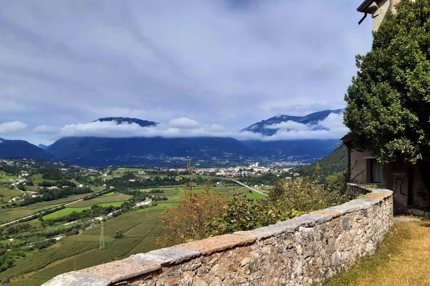
The panoramic Ring of Val Belluna winds along the hilly slopes of the Belluno Prealps and the Belluno and Feltre Dolomites. It offers wide and spectacular views of the Piave valley and the Dolomite peaks; it penetrates for long stretches into the forests that cover the northern slopes of the left Piave; it traverses meadows and pastures of mid-mountain, passing through ancient rural villages and the two main towns of the valley, Belluno and Feltre.
Stretching 120 km, with a height difference of about 3100 m, the route requires the support of a GPX track, considering its length and winding nature. It mostly takes place on secondary roads, dirt roads, and forest paths. It provides great stimulation and excitement for those, equipped with good legs and a suitable vehicle, who prefer to cycle away from the more well-known and frequented paths and explore secluded and little-known natural areas.
Before setting off, it is advisable to carefully assess the weather, the efficiency of the bicycle, and one's own training, keeping in mind that, especially in the left Piave area, one cycles for long stretches in solitary valleys and areas far from support points.
USEFUL INFORMATION:
Parking: Lambioi Parking (Belluno)
Distance: 121 km
Elevation Gain: 3100m
Difficulty: difficult
Travel Time: two days
Recommended Equipment: MTB Bike
You are in a natural environment that demands respect:
- Prohibition of flower picking
- Prohibition of swimming
- No loud noise
- Prohibition of lighting fires
- Do not leave waste around; dispose of it in designated areas (including cigarette butts, tissue papers, masks, and organic waste)
- Minors must be accompanied
- Do not leave the trail
- Do not disturb local wildlife
It is suggested to check the ARPAV website for any disturbances before embarking on the route.
For more information on the route and its variations, you can consult the dedicated site for the Panoramic Ring of Val Belluna.
