

It is a loop trail that reaches the summit of Mount Talvena (not to be confused with the namesake summit north of the Schiara range) via the CAI 512 trail marker, descending from the north until it meets trail 510, which leads back to the area of Zoppa, from where one can comfortably return to the starting point.
From Tovena, one takes an uphill mule path heading west with the CAI 512 marker and continues until reaching a clearing with a hut where the trail veers left into the woods. The ruins of casera Stalich are passed, shortly followed by the junction for Schirada. Avoiding all the left diversions, one continues through the woods, increasingly steep and with various bends, until exiting the forest.
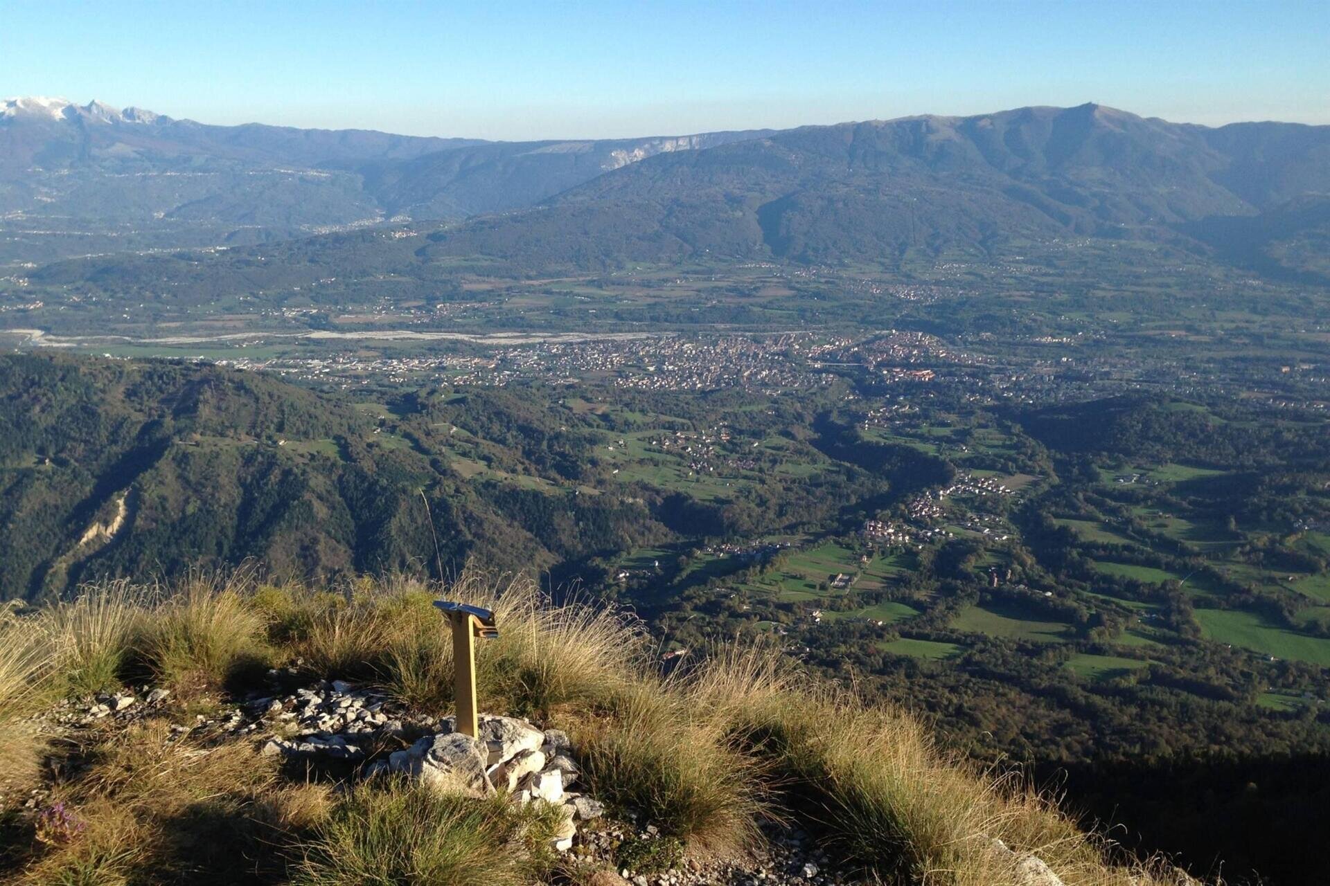
A junction on the left for casera Zoppa is passed, and after a right turn, one reaches the terminal plain from which a path leads up to the long and panoramic ridge, which after a brief drop leads to the summit (there is the possibility to descend directly from the summit without retracing the ridge and intersecting the trail that crosses the terminal clearing, but with greater difficulty on steep terrain).
The 512 trail continues straight across the southern slope and heads towards the panoramic northern ridge (Cresta dei Tor), crossing a brief exposed section equipped with a metal cord. After some ups and downs along the ridge, the trail descends westward over grassy slopes and then traverses north until a small valley where it turns sharply westward (be careful not to follow the trail that continues straight towards Forcella San Giorgio).
One continues to descend through the woods until reaching a dirt road (CAI 510 trail marker) that becomes passable and leads to casera Zoppa, located at a noticeable junction to the left. The passable road is left behind by taking the dirt road on the left, which with various ups and downs decisively crosses eastward, passing through an area of grassy clearings surrounded by woods (Pian de Neve). Always keeping left, one eventually intersects the ascent path near casera Stalich, and from there it is shortly back to the starting point.
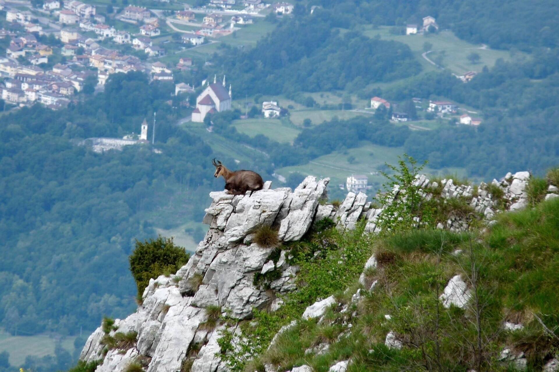
Author's recommendation: on the southern slope, Mount Talvena is rich in trails intersecting the route, allowing for different combinations from the marked one, thereby significantly shortening it. It is not recommended on very hot days due to the intense heat of the sun during the long traverse of the open grassy slopes at the summit.
USEFUL INFORMATION
Parking: at the end of "Via dei Pascoli"
Length of the route: 10.1 km
Elevation gain: 789 m
Difficulty: medium
Duration: full day
Season: all except summer
Recommended equipment: suitable trekking clothing
You are in a natural environment that requires respect:
- Prohibition of flower picking
- Prohibition of bathing
- No loud noises
- Prohibition of lighting fires
- Do not leave litter around, but dispose of it in designated spaces (including cigarette butts, tissues, masks, and wet waste)
- Minors must be accompanied
- Dogs must be kept on a leash and their waste collected
- Do not stray from the path
- Do not disturb local wildlife
It is suggested to check the ARPAV website for any disturbances before embarking on the route.

