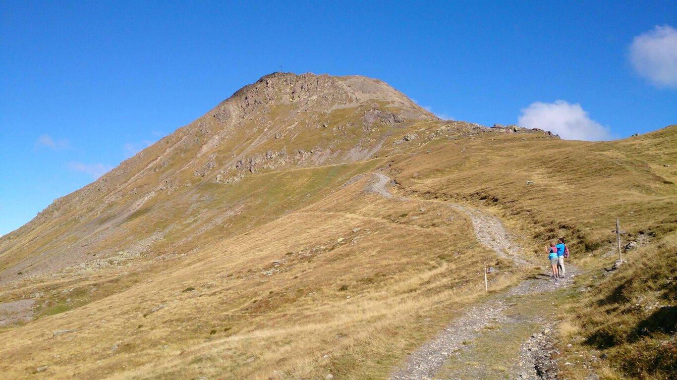
Start and finish point: Casera Rinfreddo (circuit route)
Altitude gain/loss: 650 m. approx.
Difficulty level: E (straightforward)
Hike duration: 4 hrs (excluding breaks)
Recommended period: from late spring to autumn
CAI waymarking: 149, 173 and 159 for the descent
Stop off points: Malga Coltrondo
Itinerary:
Straightforward hike of great geological and nature interest. Park at Malga Coltrondo and follow the military road signed 149 as it zigzags through large flower-filled meadows to Sella del Quaternà (1.5 hrs). From here a quick ascent takes you to the peak and its breathtaking view (n.b. surefootedness required). To get back to your starting point return to the col, turn left and then left again downhill along the valley to Alpe di Nemes. In July the slopes of Mt Quaternà and the border ridge are full of wonderful Alpenrose in flower. Before you get to the latter turn left (signs visible) and return to Malga Coltrondo.
Monte Quaternà
Cadore - Tre Cime - Comelico

Stay in touch
Sign up for the Dolomites in Belluno newsletter!
You will receive news, information, itineraries, ideas and tips for your vacation throughout the year.