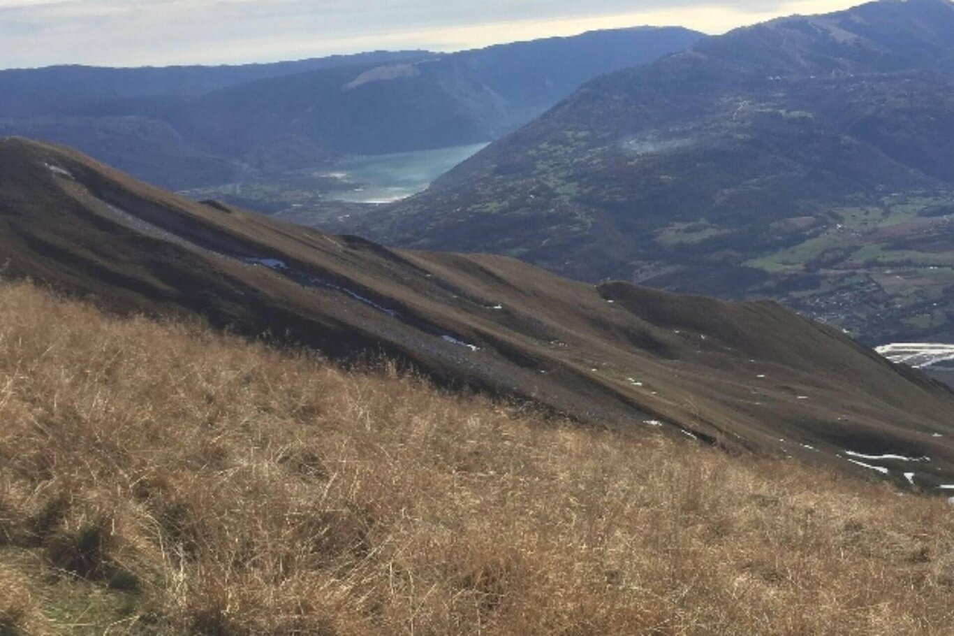
The proposed itinerary, although more challenging and tiring than the normal route to the summit (which is used here for the descent), is more rewarding both in terms of the views and for the low foot traffic that favors encounters with wildlife.
You leave the car at Cargador, at the end of the paved road, and continue along the dirt road until you reach a clearing where you take an obvious trail to the left. After a long traverse to the left and some tight curves, you arrive at a less steep section, and with a long uphill traverse to the right, you reach the long and obvious ridge that you will follow to the summit in a northward direction.
After an initial wide and gently sloping section with various trails, the path becomes steep and obvious until it levels off. You cross to the right near a fenced pool, and with a slight ascent, you reach the normal trail, which you follow for about a hundred meters until it turns sharply left (altitude 1620). Here you abandon it, continuing through the meadows, still slightly rising to the right in the direction of the obvious ridge that is reached by following the old path that descends from the casera Pian dei Fioc towards Anties (Ponte nelle Alpi) in the last few meters.
You ascend along the ridge with stunning views of the Alpago , initially overcoming a few steep and narrow sections and then following a more open path. At the end, you cross over to the left along evident traces and with some curves reach the summit of Tre Mas-ci with stunning 360-degree views. You easily traverse the ridge, first descending and then ascending to reach the cross at the summit of Mount Serva.
For the return, you follow the normal path with the only variation being the "scenic trail" because it is less monotonous than the classic trail.
Author's advice: the ascent route primarily takes place on a little-frequented path, although there are traces of passage, so it is advisable to check its accuracy with some frequency on the GPS.
USEFUL INFORMATION
Parking: "Cargador" Parking
Route Length: 9.5 km
Elevation Gain: 1,103 m
Difficulty: difficult
Duration: full day
Season: spring and autumn
Recommended Equipment: suitable trekking clothing
You are in a natural environment that demands respect:
- Prohibition of flower picking
- Prohibition of swimming
- No loud noises
- Prohibition of lighting fires
- Do not leave trash around, but dispose of it in designated areas (including cigarette butts, tissues, masks, and organic waste)
- Minors must be accompanied
- Dogs must be kept on a leash and their waste collected
- Do not stray from the path
- Do not disturb local wildlife
It is suggested to check the ARPAV website for any disturbances before embarking on the route.
