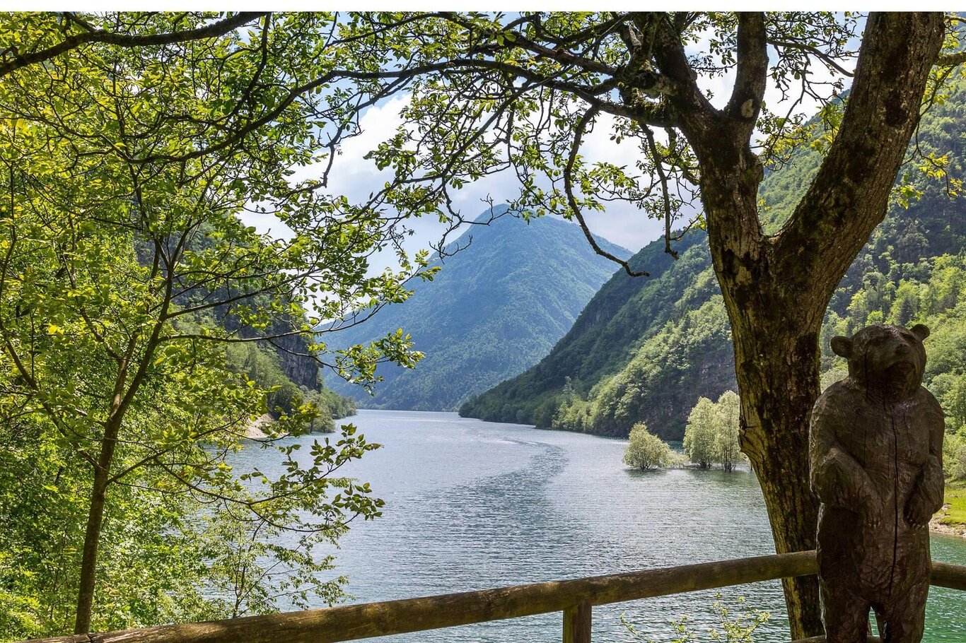
Located on the right bank of the Mis stream, the Val Falcina is closed to the southwest by the Dolomitic walls of the Pizzocco and flows into the artificial lake of Mis.
A easy loop trail allows even inexperienced hikers to immerse themselves in environments of wild charm and undeniable natural interest. The panels placed along the path contain geological, botanical, and faunal information that make the walk an opportunity for deeper understanding.
The Val Falcina is a fluvio-torrential incision with a typical “V” profile, deeply carved into the Main Dolomite, and its geomorphological development is strongly influenced by the presence of a significant fault line. Due to its floral and vegetation peculiarities, the route can be considered representative of the plant landscape at medium altitude in the eastern sector of the Park.
The area is important for the presence of eastern floral entities (Black pine, Ressmann's amber, Carnian bellflower, Kerner's spurge, etc.). With a bit of attention, it is possible to hear or see numerous passerine birds and other interesting species such as the golden eagle and the black woodpecker. The presence of the lake allows for the observation of amphibians, the collar snake, and among the birds, the mallard (which winter in the lake) and the yellow wagtail.
USEFUL INFORMATION:
- Departure and Arrival: Pian della Falcina (748 m)
- Travel time: 2 h
- Difficulty: T – Tourist
- Length: 4 km
- Minimum altitude: 420 m
- Maximum altitude: 660 m
- Type of itinerary: Nature trails
You are in a natural environment that demands respect:
- Prohibition of flower picking
- Prohibition of swimming
- No loud noises
- Prohibition of lighting fires
- Do not leave waste around, but dispose of it in designated areas (including cigarette butts, tissues, masks, and organic waste)
- Minors must be accompanied
- Dogs must be kept on a leash and their waste collected
- Do not leave the path
- Do not disturb the local wildlife
It is recommended to check the ARPAV website for any disturbances before embarking on the route.
